
What We Deploy
Raven's Eye operates Parrot Anafi UKR GOV and DJI Matrice 4TD / 4T platforms — purpose-built thermal and multispectral drones delivering actionable intelligence across every mission profile.
Our Drone Fleet
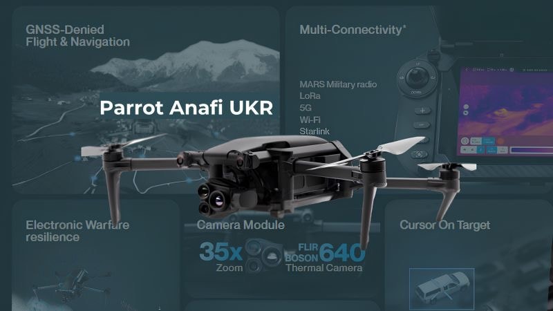
Parrot Anafi UKR GOV
Lightweight, rapidly deployable platform with encrypted communications and thermal imaging. Equipped with extended battery pack delivering up to 70 minutes of flight time under ideal conditions — purpose-built for government and public safety operations requiring sustained covert surveillance.

DJI Matrice 4TD
Enterprise-grade platform with dual thermal and visible cameras, laser rangefinder, and omnidirectional obstacle sensing. Built for extended missions requiring precision targeting and long-range detection.

DJI Matrice 4T
High-performance multispectral imaging platform for precision mapping, vegetation analysis, and wide-area surveillance. Delivers 4K visible and thermal data simultaneously.
* Extended battery pack — 70 min flight time under ideal conditions.
Full Capability Breakdown

Thermal Search & Rescue
Find the Missing. Fast.
When every minute counts, thermal imaging cuts through darkness, smoke, and dense foliage to locate heat signatures that the naked eye cannot see. Our operators deploy within minutes of alert, providing incident command with real-time aerial intelligence.
- Detect body heat through smoke, fog, and total darkness
- Real-time ATAK feed to incident command
- GPS coordinate handoff for ground teams
- Multi-drone grid search patterns
- Night operations with no visible light required

Security & Overwatch
Persistent Eyes on Target.
Continuous aerial surveillance for critical infrastructure, large-scale events, and perimeter security. Encrypted live feeds stream directly to command centers, providing situational awareness that ground teams cannot match.
- Persistent loiter over critical infrastructure
- Encrypted video to command center
- Thermal + visible dual-sensor coverage
- Automated perimeter patrol routes
- Integration with existing security systems

Communications Relay
Keep Teams Connected.
Airborne communications nodes extend radio range in remote terrain, urban canyons, and RF-contested environments. Trellisware mesh networking maintains team connectivity where ground-based infrastructure fails.
- Airborne Trellisware mesh node
- Extends radio range in dead zones
- GPS-denied environment capable
- ATAK blue force tracking relay
- Starlink backhaul for global reach

Image Mapping
See the Full Picture.
High-resolution orthomosaic mapping and 3D terrain modeling for incident command, disaster response, and operational planning. Deliverables include georeferenced maps, point clouds, and digital elevation models.
- Orthomosaic maps with centimeter accuracy
- 3D point cloud and terrain models
- Digital elevation models (DEM)
- Rapid post-disaster damage assessment
- GIS-compatible deliverables

Wildlife Assistance
Non-Invasive. Highly Effective.
Thermal drone operations for wildlife tracking, anti-poaching surveillance, and ecological surveys. Cover vast terrain without disturbing natural behavior — detecting animals by heat signature across thousands of acres.
- Non-invasive thermal animal detection
- Anti-poaching night surveillance
- Population count and movement tracking
- Habitat mapping and analysis
- Coordination with wildlife agencies
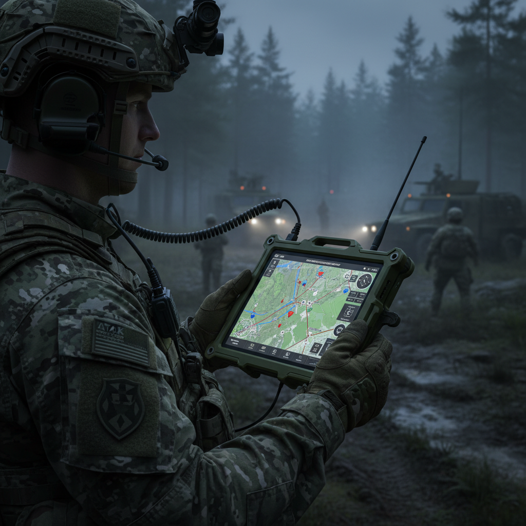
ATAK Integration
Unified Tactical Picture.
Full ATAK/WinTAK integration brings drone feeds, EUD positions, and sensor data onto a single tactical display. Every operator sees the same picture — from the drone pilot to the incident commander.
- Live drone feed in ATAK/WinTAK
- EUD blue force tracking overlay
- Cursor-on-target (CoT) data sharing
- Mission planning and waypoint tasking
- Encrypted data links end-to-end
Ready to Deploy?
Contact us to discuss your mission requirements and get a tailored capabilities briefing.
Request a Briefing